Line © OpenStreetMap contributors (ODbL), checked by Global Adventurer.
The paddling route
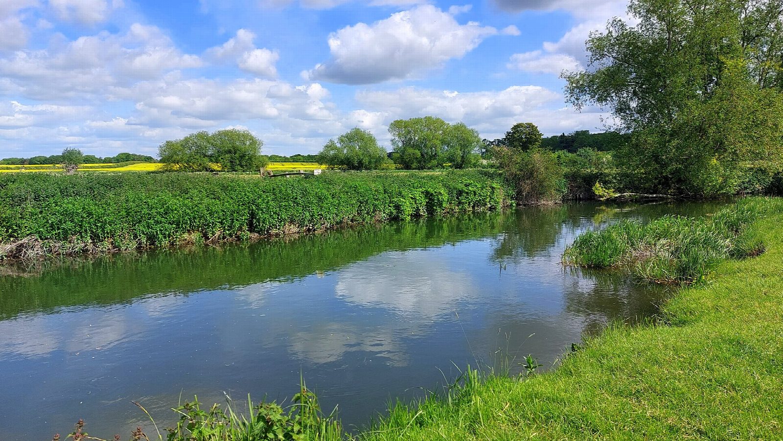
Launch from the bank at Sheep's Green, beside the Lammas Land pay car park in Newnham, and paddle upstream on the Upper Cam. Above the city the river is narrow and slow, winding under willows and through Grantchester Meadows, with cattle grazing on the banks and the spire of Grantchester church ahead. Turn by the village, where the Orchard tea garden is a short walk from the river, and drift back.
It is 5 km there and back; allow about an hour in a canoe or kayak and 1½ on a paddleboard. The grade is Very easy: flat, sheltered water with no locks or weirs on the way.
No licence is needed on this stretch: the Conservators of the River Cam license boats only downstream of the Mill Pit, so going down into the city and the Backs needs a Cam licence. On summer weekends the meadows are busy with punts, picnickers and swimmers: keep clear of swimmers and give punts room on the bends. In a dry summer the river is shallow and weedy, and after heavy rain it rises and runs fast; check the Byron's Pool gauge and do not paddle in flood. Wear a buoyancy aid and check the conditions before you set off.
Route drawn by Global Adventurer along OpenStreetMap waterways (© OpenStreetMap contributors, ODbL), with figures worked out from it. Check the forecast and the ground on the day: paths change.
Good to know
- Up the narrow Upper Cam through Grantchester Meadows
- No licence needed upstream of the Mill Pit
- Busy with punts on summer weekends
- Tea at the Orchard in Grantchester, a short walk from the river
On the water
- Put in: Lammas Land car park (car park) · parking charged 52.19522, 0.11481
- No locks or weirs on the way.
- River level: Byron's Pool (River Cam). Check it before you go, and don't paddle when it is high.
- Suits canoes, kayaks, paddleboards.
Getting there
Start: Lammas Land, Newnham. 52.19522, 0.11481
By train: Cambridge station is 1.6 km from the start.
Places to stay nearby
Rooms in and around Lammas Land: Booking.com → Expedia →
Affiliate links: if you book, Global Adventurer earns a small commission at no cost to you.
Water levels, flow and the weather decide the day. The line and figures come from OpenStreetMap and our own checks; wear a buoyancy aid, check the river levels and the forecast, keep well clear of weirs and powered boats, and don't go out in flood.