Line © OpenStreetMap contributors (ODbL), checked by Global Adventurer.
The paddling route
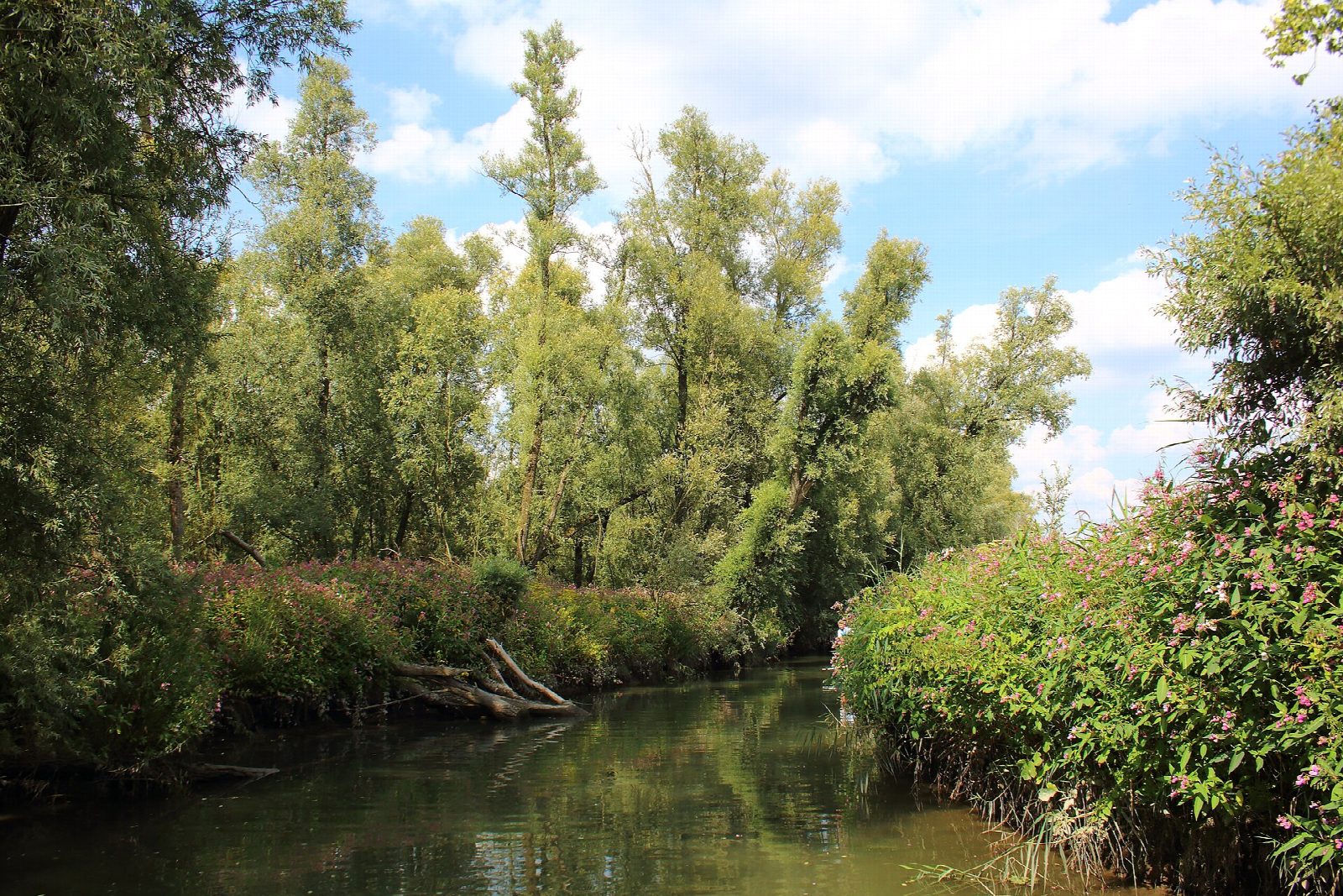
Put in at the low canoe dock at Vissershang, the national park's gateway near Hank, and paddle out of the marina into the Oostkil. Turn into the Aakvlaai, a maze of creeks, willow islands and sandy beaches made at the end of the last century on the edge of the Biesbosch, and wind east through its open water past reed beds and old willow coppice, then back through the southern creeks to the start. Beavers, brought back here in the 1990s, are often seen at dawn and dusk.
It is 4.3 km round; allow about an hour in a canoe or kayak and 1¼ on a paddleboard. The grade is Easy: sheltered creeks with no locks. The Biesbosch still has a small tide of a few decimetres, which can leave beaches dry and make a slight flow in narrow creek mouths.
You may paddle the Biesbosch creeks only between sunrise and sunset, and some creeks and rest areas are closed to boats: they are signed. From 1 November to 1 March more creeks close for wintering birds, and from 1 January to 1 August extra zones can close round nesting birds. Stay inside the Aakvlaai: the Amer and the Spijkerboor next to it carry ships. Jetties are for short daytime stops. Wear a buoyancy aid and check the conditions before you set off.
Route drawn by Global Adventurer along OpenStreetMap waterways (© OpenStreetMap contributors, ODbL), with figures worked out from it. Check the forecast and the ground on the day: paths change.
Good to know
- Through the creeks, islands and beaches of the Aakvlaai, new nature on the edge of the Biesbosch
- The Biesbosch was born in the St Elizabeth's flood of 1421
- Beavers were brought back here between 1988 and 1992, the first in the Netherlands
- Since the Haringvliet was closed in 1970 the tide here is only a few decimetres
On the water
- Put in: Vissershang, canoe dock (canoe dock) 51.72972, 4.85857
- No locks or weirs on the way.
- About 4.3 km (2.7 mi) on open water, up to 36 m from the shore: wind and waves build quickly.
- Rules and licences: Staatsbosbeheer, Nationaal Park De Biesbosch. Check whether you need a licence before you go: on many inland waters in England and Wales you do, and Paddle UK membership includes one for many of them.
- Suits canoes, kayaks, paddleboards.
Getting there
Start: Vissershang, canoe dock. 51.72972, 4.85857
Places to stay nearby
Rooms in and around Vissershang: Booking.com → Expedia → Hotels.com →
Affiliate links: if you book, Global Adventurer earns a small commission at no cost to you.
Water levels, flow and the weather decide the day. The line and figures come from OpenStreetMap and our own checks; wear a buoyancy aid, check the river levels and the forecast, keep well clear of weirs and powered boats, and don't go out in flood.