Line © OpenStreetMap contributors (ODbL), checked by Global Adventurer.
The paddling route
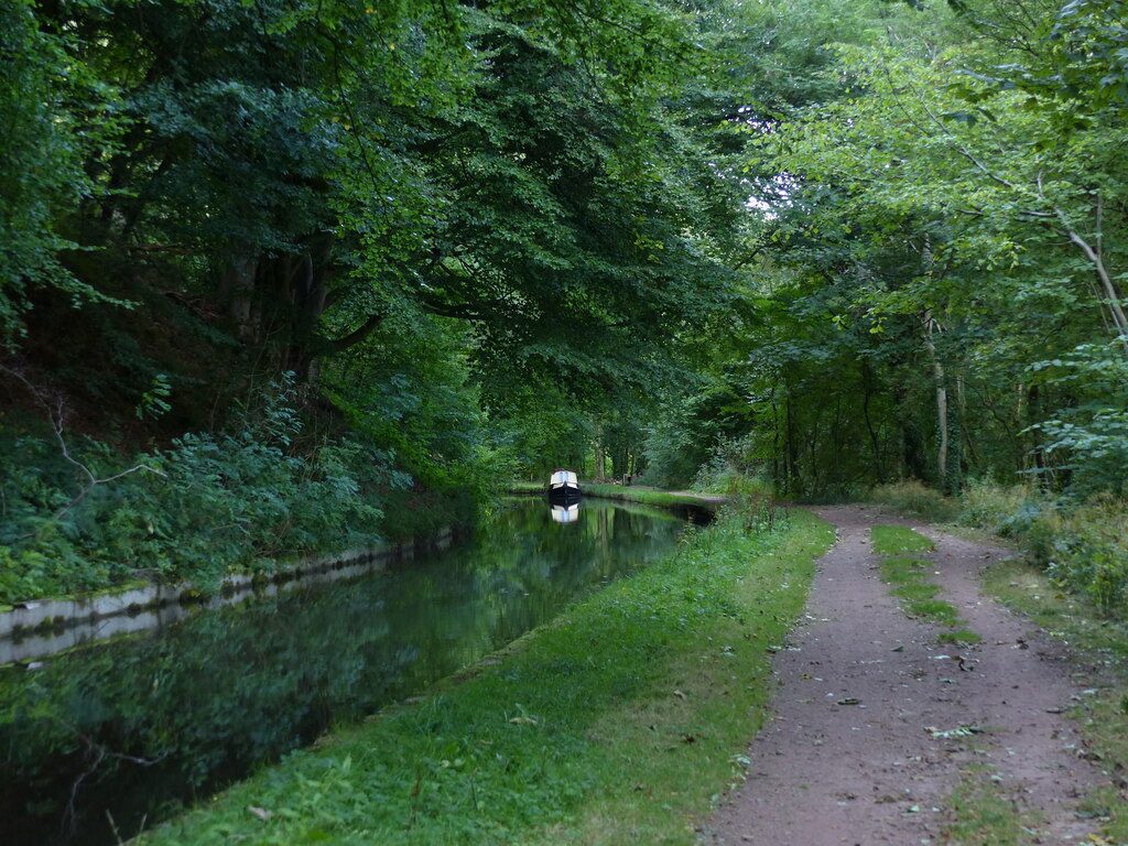
Put in at Llanfoist Wharf, where Hill's Tramroad once brought iron down from Blaenavon to the canal, and paddle south along the Monmouthshire and Brecon Canal. It contours the wooded flank of the Blorenge, high above the Usk valley, with long views across to Abergavenny and the Sugar Loaf, then winds on past Llanellen and Llanover to Goytre Wharf, with its restored lime kilns, café and visitor moorings. This is part of the canal's long lock-free pound, so there is nothing to carry round.
It is 9.1 km one way; allow about 2 hours in a canoe or kayak and 2½ on a paddleboard. The grade is Easy: flat, still water, though a little long for a first outing. Hire boats from Goytre and Llanfoist use the canal from spring to autumn, so keep to the right and give them room at bridges.
You need a licence: Paddle UK or Canoe Wales membership includes one, or buy one from the Canal & River Trust. The free Llanfoist Crossing car park is about 300 m from the wharf, and Goytre Wharf has a car park beside the canal; Abergavenny station is about 2 km from the start. Winter works elsewhere on the canal do not touch this stretch, but check the Trust's notices. Wear a buoyancy aid and check the conditions before you set off.
Route drawn by Global Adventurer along OpenStreetMap waterways (© OpenStreetMap contributors, ODbL), with figures worked out from it. Check the forecast and the ground on the day: paths change.
Good to know
- Part of the canal's long lock-free pound, contouring the Usk valley
- Llanfoist Wharf was the end of Hill's Tramroad from the Blaenavon ironworks
- Woods on the slopes of the Blorenge for much of the way
- Goytre Wharf has old lime kilns and a café
On the water
- Put in: Llanfoist Wharf (bank) 51.81130, -3.03920
- Take out: Goytre Wharf (bank) 51.75217, -2.99641
- No locks or weirs on the way.
- Rules and licences: Canal & River Trust. Check whether you need a licence before you go: on many inland waters in England and Wales you do, and Paddle UK membership includes one for many of them.
- Suits canoes, kayaks, paddleboards.
Getting there
Start: Llanfoist Wharf. 51.81130, -3.03920
By train: Abergavenny station is 2.2 km from the start.
Places to stay nearby
Rooms in and around Abergavenny: Booking.com → Expedia →
Affiliate links: if you book, Global Adventurer earns a small commission at no cost to you.
Water levels, flow and the weather decide the day. The line and figures come from OpenStreetMap and our own checks; wear a buoyancy aid, check the river levels and the forecast, keep well clear of weirs and powered boats, and don't go out in flood.
