Line © OpenStreetMap contributors (ODbL), checked by Global Adventurer.
The paddling route
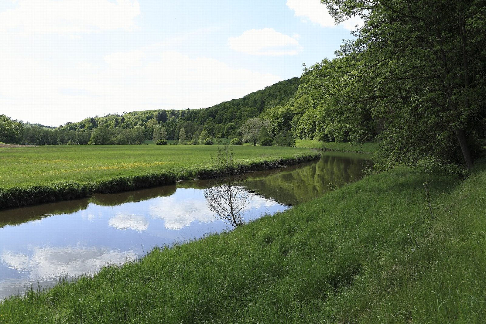
Put in at the paved boat steps below the Treuchtlingen weir, near the Stadthalle car park, and let the Altmühl carry you east. It is a small, gentle river that winds in loops between water meadows and the wooded limestone slopes of the Altmühl valley nature park, so slow that it is a favourite first river for families. Charlemagne's unfinished canal, the Fossa Carolina, lies just west of the town. The run ends at the official landing above Pappenheim weir, with stone steps and a wooden slide for boats, under the ruined castle of the counts of Pappenheim.
It is 7.3 km one way; allow about 1½ hours in a canoe or kayak and 2 on a paddleboard. The grade is Easy: a light current with no rapids, and no weir to pass between the start and the finish.
Paddle downstream only, in narrow craft, and launch and land only at the signed places. Keep out of reeds and side arms and off the gravel bars, where fish spawn. Weirs cannot be run: watch for the warning signs and get out in good time. In spring a traffic light shows whether there is enough water. Treuchtlingen and Pappenheim both have stations for the trip back. Wear a buoyancy aid and check the conditions before you set off.
Route drawn by Global Adventurer along OpenStreetMap waterways (© OpenStreetMap contributors, ODbL), with figures worked out from it. Check the forecast and the ground on the day: paths change.
Good to know
- The Altmühl is often called Bavaria's slowest river, a favourite first river for beginners
- Below Treuchtlingen weir to the official landing above Pappenheim weir: no weir to pass
- Charlemagne's canal, the Fossa Carolina of 793, lies just west of Treuchtlingen
- Ends under the ruins of Pappenheim castle, seat of the Imperial Marshals
On the water
- Put in: Treuchtlingen Wehr Stahlbrücke (canoe launch) 48.95307, 10.91343
- Take out: Pappenheimer Wehr (canoe launch) 48.93429, 10.97066
- No locks or weirs on the way.
- River level: Treuchtlingen (Altmühl). Check it before you go, and don't paddle when it is high.
- Rules and licences: Wasserwirtschaftsamt Ansbach, Naturpark Altmühltal. Check whether you need a licence before you go: on many inland waters in England and Wales you do, and Paddle UK membership includes one for many of them.
- Suits canoes, kayaks, paddleboards.
Getting there
Start: Treuchtlingen, by the Stadthalle. 48.95307, 10.91343
By train: Treuchtlingen station is 1.0 km from the start.
Places to stay nearby
Rooms in and around Treuchtlingen: Booking.com → Expedia → Hotels.com →
Affiliate links: if you book, Global Adventurer earns a small commission at no cost to you.
Water levels, flow and the weather decide the day. The line and figures come from OpenStreetMap and our own checks; wear a buoyancy aid, check the river levels and the forecast, keep well clear of weirs and powered boats, and don't go out in flood.
