Line © OpenStreetMap contributors (ODbL), checked by Global Adventurer.
The paddling route
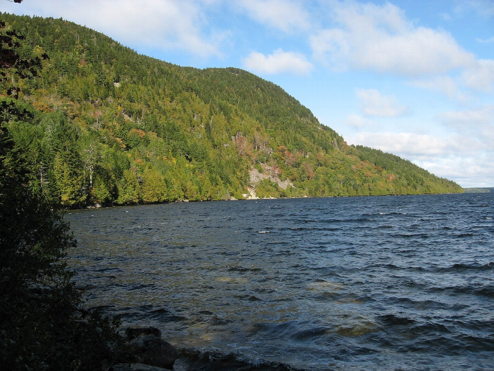
Put in at the beach at Pond's End, the north tip of Long Pond, on the Pretty Marsh road just west of Somesville. The pond stretches nearly 4 miles south between wooded hills, the biggest lake on Mount Desert Island. The line runs down the middle past Sand Point and Carter Cove, and the hills close in as you go: Beech Mountain on the left, with its fire tower, and Mansell Mountain on the right, both in Acadia National Park. Turn at the quiet southern end, under the park's woods, and paddle back.
It is 7.6 miles (12.2 km) there and back; allow about 2¾ hours in a canoe or kayak and 3½ on a paddleboard. The grade is Moderate: it is a long pond for a day, and a north or south wind blows straight down it and builds a chop, so check the forecast and keep near a shore if it rises.
Motorboats are allowed on Long Pond with no horsepower limit, though personal watercraft are not. The pond is Southwest Harbor's water supply: do not swim within 1,000 ft of the intake. Maine law requires a life jacket for everyone in a canoe or kayak, and children 10 and under must wear one. Wear a life jacket and check the conditions before you set off.
Route drawn by Global Adventurer along OpenStreetMap waterways (© OpenStreetMap contributors, ODbL), with figures worked out from it. Check the forecast and the ground on the day: paths change.
Good to know
- The length of Mount Desert Island's biggest lake, from the beach at Pond's End
- Under Mansell and Beech mountains, with Acadia National Park along the southern shores
- Motorboats are allowed (no horsepower limit); personal watercraft are not
- Long Pond is Southwest Harbor's water supply: no swimming near the intake
On the water
- Put in: Pond's End (beach) 44.35460, -68.36320
- No locks or weirs on the way.
- About 7.5 mi (12.1 km) on open water, up to 96 m from the shore: wind and waves build quickly.
- Rules and licences: Town of Mount Desert, National Park Service (Acadia). Check whether you need a licence before you go: on many inland waters in England and Wales you do, and Paddle UK membership includes one for many of them.
- Suits canoes, kayaks, paddleboards.
Getting there
Start: Pond's End. 44.35460, -68.36320
Places to stay nearby
Rooms in and around Acadia: Booking.com → Expedia → Hotels.com →
Affiliate links: if you book, Global Adventurer earns a small commission at no cost to you.
Water levels, flow and the weather decide the day. The line and figures come from OpenStreetMap and our own checks; wear a buoyancy aid, check the river levels and the forecast, keep well clear of weirs and powered boats, and don't go out in flood.