Line © OpenStreetMap contributors (ODbL), checked by Global Adventurer.
The walk
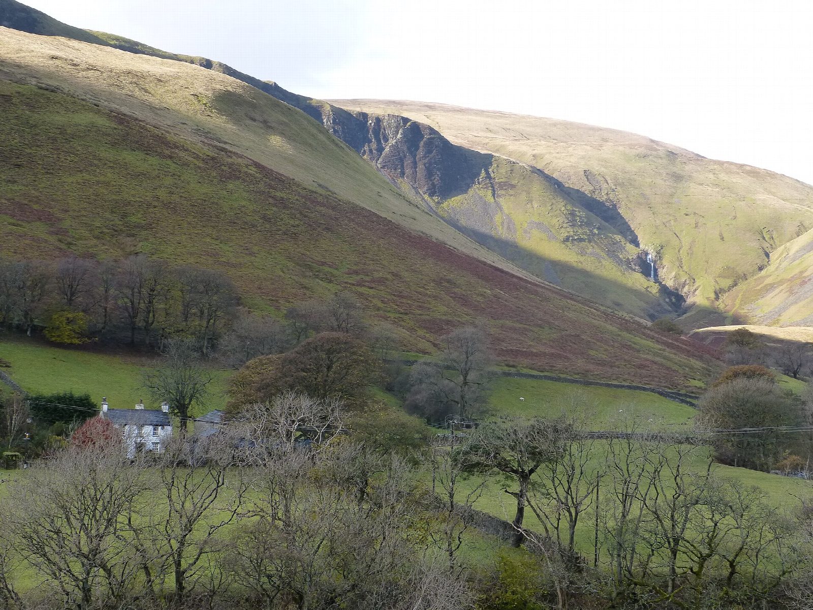
The walk starts from the Joss Lane car park in Sedbergh and makes a circuit of the highest Howgill Fells. Joss Lane leads to the fell gate, and a path climbs to Winder (473 m), the hill above the town. A broad grassy ridge runs north-east over Arant Haw (605 m) and Calders (675 m) to the trig point on The Calf (676 m). The route goes on over the plateau and down to the top of Cautley Spout, then descends a steep pitched path beside the falls into the valley below Cautley Crag. A bridleway along the west side of the Rawthey valley leads back by Fawcett Bank and Buckbank to Sedbergh.
It is 16.7 km with 766 m of ascent; allow about 6¼ hours. The grade is Hard: a long hill day with a big climb at the start and a very steep descent beside the falls.
The Howgills are steep, smooth, grassy hills with no walls or fences on the tops and few landmarks. In mist the broad ridges are confusing, so carry a map and compass. The path beside Cautley Spout is very steep, and the drops beside it are long.
Joss Lane car park is run by Westmorland and Furness Council and charges from 9am to 6pm, £7.90 for the day. There is no station nearby.
Route drawn by Global Adventurer along OpenStreetMap paths (© OpenStreetMap contributors, ODbL), with figures worked out from it. Check the forecast and the ground on the day: paths change.
Good to know
- The Calf, 676 m, the highest of the Howgill Fells
- Cautley Spout, a string of falls dropping about 200 m beside Cautley Crag
- Along the grassy ridge over Winder, Arant Haw and Calders
- Sedbergh is in Cumbria but inside the Yorkshire Dales National Park
Summits on the way
- Winder 473 m
- Arant Haw 605 m
- Calders 675 m
- The Calf 677 m
Getting there
Start: Joss Lane car park, Sedbergh · Pay and display. 54.32406, -2.52553
Places to stay nearby
Rooms in and around Joss Lane car park: Booking.com → Expedia →
Affiliate links: if you book, Global Adventurer earns a small commission at no cost to you.
Paths change, and the weather decides the day. The line and figures come from OpenStreetMap and our own checks; take a map, check the forecast, and turn back if it isn't right.
